May 12, 2026, 9:31 a.m.
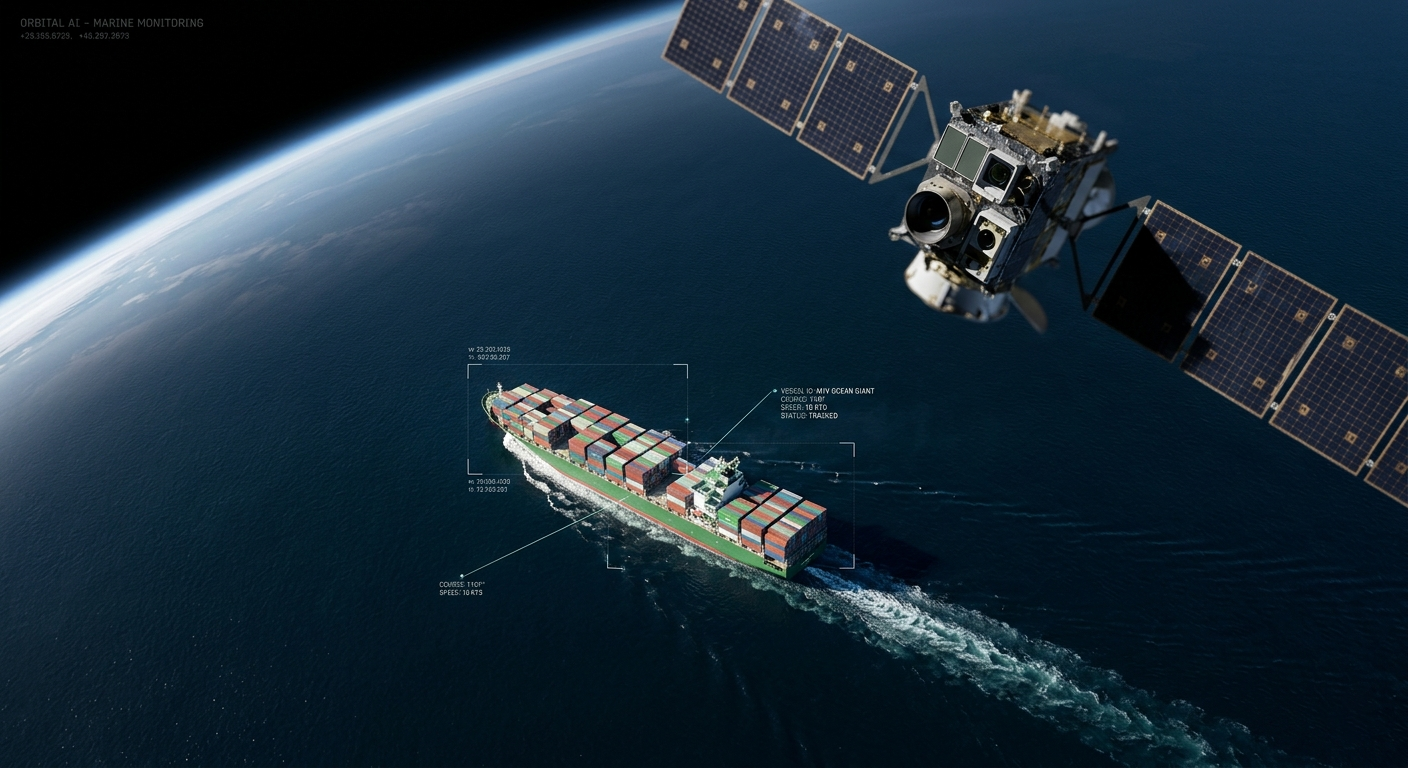
The maritime industry is witnessing a significant shift in how vessels are monitored across the globe. Recent milestones in space technology have demonstrated that Artificial Intelligence (AI) integrated directly into satellites can identify and track ships with remarkable precision from orbit. This advancement marks a departure from traditional data processing methods, offering a more efficient way to maintain maritime safety and security.
The Evolution of Orbital Detection
Historically, satellite monitoring of the oceans involved capturing large amounts of raw data or imagery and transmitting it back to ground stations for analysis. This process was often slow, hindered by the massive volume of data and limited communication bandwidth between the satellite and Earth. The recent successful in-orbit test changes this dynamic by processing information where it is captured: in space.
By utilizing specialized AI algorithms on board the satellite, the system can filter through visual data in real-time. Instead of sending thousands of high-resolution images back to Earth, the satellite identifies specific targets, such as commercial vessels, and sends only the relevant coordinates and identification data. This reduces the time lag between detection and reporting, providing mariners and authorities with near-instantaneous updates.
Operational Impact for Seafarers
For deck officers and maritime managers, this technology enhances the Common Operating Picture. Enhanced satellite AI can help in identifying "dark vessels," which are ships that have turned off their Automatic Identification System (AIS) transponders to avoid detection. By cross-referencing satellite visual data with AIS signals in real-time, discrepancies can be flagged immediately.
This capability is crucial for preventing illegal fishing, managing traffic in congested shipping lanes, and improving search and rescue (SAR) operations. When a vessel is in distress in a remote area of the ocean, every minute counts. AI-powered satellites can scan vast areas of the sea and locate life rafts or debris much faster than traditional aerial or surface searches.
Future Integration and Safety
As these technologies become more prevalent, they will likely be integrated into standard Electronic Chart Display and Information Systems (ECDIS) and shore-based Vessel Traffic Services (VTS). This will provide a secondary layer of verification for navigation, helping to prevent collisions and ensuring that all vessels comply with international maritime regulations.
Furthermore, the environmental aspect cannot be overlooked. By optimizing routes through better traffic monitoring and detecting potential oil spills earlier, orbital AI contributes directly to the Green Shipping initiatives led by the International Maritime Organization (IMO). Professionals in the industry should stay informed about these developments, as the digital twin of our oceans becomes increasingly accurate and accessible.
Resource: Marine Insight.
There are no comments.
Similar Posts
-
Ammonia as a Marine Fuel: Key Safety Considerations for Seafarers
Feb. 2, 2026, 7:56 a.m.
-
Streamlining Container Shipping: Coneksion's Connectivity Boost for Ship Angel Platform
Nov. 24, 2025, 5:48 p.m.
-
Understanding the Hydrostatic Release Unit for Liferafts
Oct. 31, 2025, 9:07 a.m.
-
Automation in Shipping: New Tests for Officers and Training on the Sail.ai Platform
Sept. 30, 2025, 7:57 a.m.